
3D Laser Scanning
Get millimeter-accurate facility models that integrate directly into your CAD system, no downtime required.

Overview
High-Fidelity Data Capture & Engineering Analysis
At DSI, we use advanced 3D laser scanning technology to capture detailed point-cloud data of existing manufacturing facilities. Our engineers utilize terrestrial LiDAR (Light Detection and Ranging) scanners to collect millions of data points, creating high-density point clouds that document equipment, structures, and utilities.
We integrate this data into CAD and digital modeling workflows to support facility planning, equipment installations, layout modifications, and engineering analysis.
By connecting existing facility conditions with digital engineering tools, we help manufacturers improve planning accuracy, identify potential conflicts, and reduce uncertainty before implementation.

EXISTING CONDITIONS
The Brownfield Challenge
In established manufacturing facilities, existing drawings don't always reflect current conditions. As equipment, utilities, and production layouts evolve, maintaining accurate documentation can become increasingly challenging.
Over time, pipe runs are added, HVAC systems are rerouted, and structural modifications are made, changes that may not be reflected in the original drawings.
Manual field measurements can be time-consuming, require repeated site visits, and introduce potential inaccuracies. When new equipment arrives, unaccounted-for structural elements or utilities can lead to installation delays, unexpected modifications, and additional costs.
These challenges highlight the importance of understanding existing facility conditions before planning equipment installations or modifications.
3D Laser Scanning Capabilities
As-Built Capture & CAD Alignment
We register and align 3D scanning data with existing plant grids and CAD coordinates, creating accurate as-built documentation that integrates with your engineering workflows.
Clash Detection & Interference Analysis
By comparing proposed equipment layouts with existing facility conditions, we help identify potential conflicts involving structures, utilities, and equipment before installation.
BIM & Revit Integration (AEC Support)
For warehouse expansions and renovations, we convert point clouds into intelligent Revit families and BIM models. With accuracy within ±2 mm, these models help architects and contractors reduce site visits and streamline project schedules.
WebShare2Go & Remote Collaboration
WebShare2Go allows project stakeholders to view, measure, and annotate facility scan data through a web browser, supporting collaboration across teams and locations.
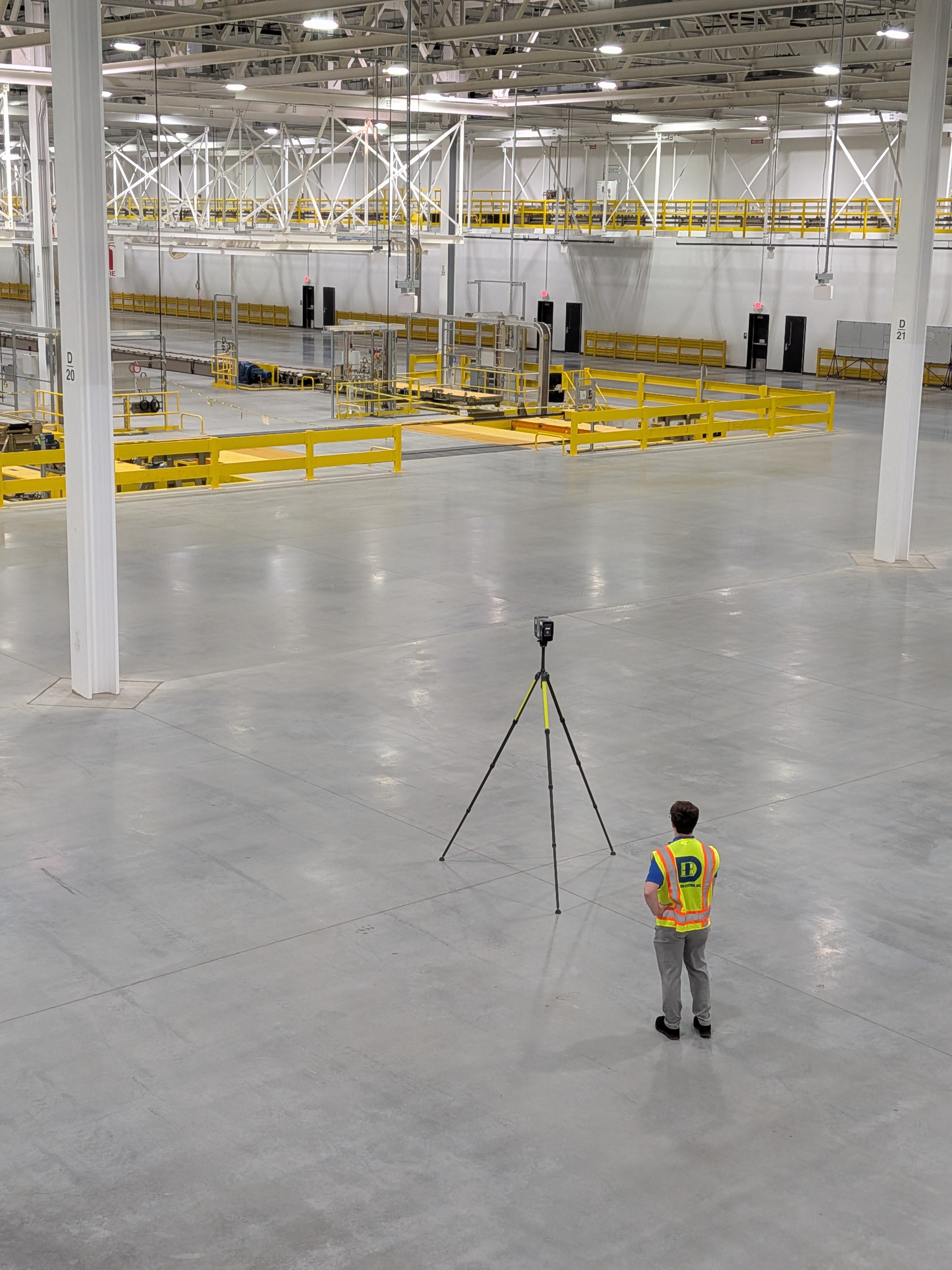
We're Engineers Who Scan
The DSI Difference
Founded in 1983, Design Systems, Inc. brings over four decades of industrial engineering experience to every 3D laser scanning project.
Our team of 200+ professionals understands how equipment, structures, and facility systems interact within manufacturing operations. When capturing conveyor systems, structural steel, or production layouts, we consider how those elements support the broader manufacturing process.
By combining accurate facility data with practical engineering expertise, we help manufacturers translate scan results into actionable plans for equipment installations, facility modifications, and future improvements.

PROJECT OUTPUTS
Expected Deliverables
Depending on project requirements, DSI provides a range of deliverables to support facility documentation, engineering analysis, and project planning.
Scanning Proposal Sample
2D Drawings
3D CAD Models
3D CAD Animation
Flythroughs & Renderings
Point Cloud Consulting and Training
WebShare2Go Files
SEE IT IN ACTION
From Point Cloud to 3D Model
See how DSI transforms laser-scanned facility data into detailed 3D models that support equipment planning, facility modifications, and engineering coordination.
3D Laser Scanning